
30 September 2026
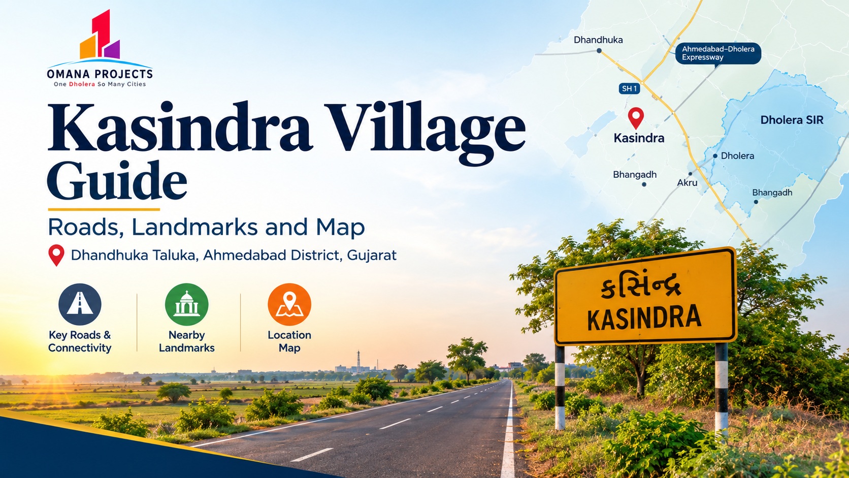
Kasindra is a village in Dhandhuka Taluka, Ahmedabad district, Gujarat, in the Bhal region near the Dholera Special Investment Region (SIR). It sits among a cluster of villages that includes Dholera, Akru and Bhangadh, and is reached via the local Dhandhuka road network and the wider Ahmedabad–Dholera corridor. This guide covers how to reach Kasindra, its nearby roads, the landmarks worth knowing, and how to locate it accurately on a map.
Anyone researching land near Dholera eventually runs into the same practical question: where exactly is this village, and how do I get there? Kasindra does not have the name recognition of Dholera itself, so this guide pulls together what is verifiable about its location, road access, and surrounding landmarks, in plain terms.
Where Kasindra Sits: The Administrative Picture
Kasindra is a village administered under Dhandhuka Taluka, in Ahmedabad district, Gujarat. According to the 2011 Census of India, the village has a population of around 3,455 people across roughly 628 households, with a literacy rate of about 67%. Like most villages in this taluka, agriculture has traditionally been the main economic activity, though that picture is changing as the Dholera region draws wider investment.
Dhandhuka Taluka contains several villages that have become familiar names to anyone tracking Dholera-area real estate, including Dholera village itself, Akru, and Bhangadh. Kasindra sits within this same cluster, which is worth knowing because it means the roads, landmarks and civic services described below are shared, to a large extent, across these neighbouring villages rather than unique to any one of them.
How Kasindra Connects to the Wider Region
The State Highway Backbone
Dhandhuka, the taluka headquarters, sits on State Highway 1, which links Ahmedabad to Bhavnagar. Dhandhuka town is roughly 105 km from Ahmedabad along this route. This state highway is the long-standing backbone of road travel across the Bhal region, and villages such as Kasindra rely on local link roads that branch off it to reach Dhandhuka town and, from there, the wider highway network.
The Ahmedabad–Dholera Expressway
In more recent years, the Ahmedabad–Dholera Expressway has become the more direct route for traffic headed specifically toward the Dholera SIR, cutting travel time compared with older highway routes. For a village like Kasindra, which sits near the SIR but outside its notified boundary, this expressway is the more relevant road for anyone commuting toward the SIR's Activation Area, even though local roads remain the way to reach the village itself.
Local and Internal Roads
Within Dhandhuka Taluka, movement between villages such as Kasindra, Akru, Bhangadh and Dholera typically happens on local taluka roads rather than the state highway directly. Road quality and width can vary between these internal links, which is one reason site visits matter: a project's own internal road, such as the 40-metre road listed for Dholera Estates 1, is not necessarily representative of every approach road in the surrounding area.
Landmarks Worth Knowing Near Kasindra
Dhandhuka Town
Dhandhuka is the natural reference point for the whole taluka. It is a historic town, known as the birthplace of the twelfth-century Jain scholar Acharya Hemchandracharya, and it functions today as the administrative and market hub for surrounding villages, including Kasindra. For practical purposes, Dhandhuka town is where most buyers and residents go for larger shopping, administrative offices, and onward transport connections.
Dholera Village and the SIR Activation Area
Dholera village, also in Dhandhuka Taluka, lends its name to the wider Special Investment Region and sits at the heart of the SIR's planned Activation Area. It is the clearest large-scale landmark in the region, and most regional directions, including those toward Kasindra, are ultimately given relative to Dholera and the SIR boundary.
Nalsarovar Bird Sanctuary
Nalsarovar, a well-known Ramsar-listed wetland and bird sanctuary in the broader Ahmedabad–Bhal region, is one of the more recognisable landmarks associated with this part of Gujarat, drawing visitors for migratory bird watching between November and February. It sits at a distance from Kasindra itself, and buyers interested in it as a nearby point of reference should confirm current travel time from the specific village, since regional road conditions can vary.
Ahmedabad City
For most residents and buyers, Ahmedabad remains the nearest large city for major hospitals, airports, and long-distance rail connections, reached via Dhandhuka town and the state highway or expressway network described above.
Locating Kasindra on a Map
Search Terms That Work
Because there is more than one village named Kasindra in Gujarat, and even one in a different state, the most reliable way to locate the correct village on any map service is to search specifically for “Kasindra, Dhandhuka Taluka, Ahmedabad district, Gujarat” rather than “Kasindra” alone. This avoids confusion with a different Kasindra located in Daskroi Taluka, closer to Ahmedabad city, which is an unrelated locality.
Reference Points to Use
- Dhandhuka town — the taluka headquarters and nearest large market town
- Dholera village and the SIR Activation Area — the primary regional landmark
- Ahmedabad city — the nearest major city, reached via Dhandhuka or the expressway
- Neighbouring villages Akru and Bhangadh — useful map anchors since they appear on most Dholera-area project maps
A Caution on Pins and Coordinates
Village-level map pins for smaller settlements can sometimes be inaccurate or point to a general area rather than an exact boundary. Before relying on any map pin for a specific plot, buyers should ask the project team to confirm the precise location on the ground, ideally during a site visit or through a live video walkthrough, rather than relying on a map application alone.
What This Means for Someone Evaluating Land in Kasindra
- Confirm which Kasindra a listing refers to — Dhandhuka Taluka, not Daskroi Taluka or any other same-named village
- Use Dhandhuka town and Dholera village as your main reference points when orienting yourself on a map
- Treat the state highway and the Ahmedabad–Dholera Expressway as the two main arteries serving the wider region, with local roads carrying traffic the rest of the way
- Verify the exact approach road and frontage for any specific plot during a site visit, rather than assuming it matches the wider region's main roads
Frequently Asked Questions
Which taluka and district is Kasindra Village in?
Kasindra is in Dhandhuka Taluka, Ahmedabad district, Gujarat.
Is Kasindra inside the Dholera SIR?
No. Kasindra sits near the Dholera SIR but outside its notified boundary.
What is the nearest town to Kasindra?
Dhandhuka town is the nearest taluka headquarters and market hub.
How do I make sure I am looking at the right Kasindra on a map?
Search for “Kasindra, Dhandhuka Taluka, Ahmedabad district” specifically, since another, unrelated Kasindra exists in Daskroi Taluka.
What are the main roads serving the area?
State Highway 1 (Ahmedabad–Bhavnagar) runs through Dhandhuka town, while the Ahmedabad–Dholera Expressway serves traffic headed toward the SIR; local roads connect villages such as Kasindra to these main routes.
Final Thoughts
Kasindra is best understood not in isolation, but as one village within a small cluster in Dhandhuka Taluka that has become closely associated with the Dholera growth story. Knowing the taluka, the nearest town, the main regional roads, and the landmarks that anchor the area makes it far easier to evaluate any specific plot on its own merits. For current project details in this village, see the Dholera Estates 1 properties page, and for further reading on the region, visit our blog.